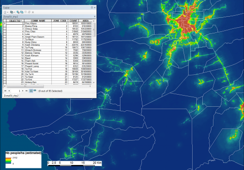
Required processing:
Redistribution of existing population figures in a raster with a spatial resolution of ~100m*100m (1ha),
taking into account different variables, computation of zonal statistics in selected geographic entities.
Data requirements:
WorldPop data available for free download (the data have already been produced for many countries worldwide and can be produced upon request).
Vector layer with the entities where the population has to be estimated.
High resolution population maps, population figures for the selected entities (districts, communes …).
Why using remote sensors?:
Recent high resolution population data are important for priority setting. However, such data are not always available. Remote sensing is used to provide an estimate.
Technical contact:
Operational contact:
WorldPop

