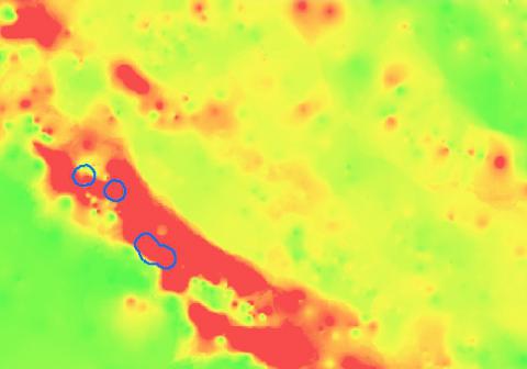
Required processing:
Correction and smoothing of DEM, extraction of visibility points (relative min and max of the area), generation of a grid;
Launch visibility script over the whole area which computes visibility value from all other pixels (CPU time consuming).
Data requirements:
Digital Elevation Model (DEM)
Georeferenced image of the visibility
Why using remote sensors?:
The purpose of such analysis is to identify the areas of a region of interest from which the best visibility of the surroundings can be achieved.
Knowing this might of help in reconstructing the military positions and hence in locating possible minefields.
Technical contact:

