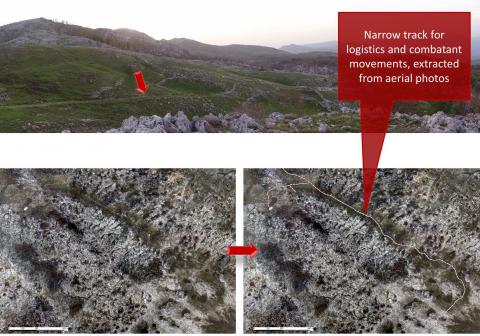
Required processing:
Orthorectification and mosaicking of the aerial photographs. Computer-Assisted Photo Interpretation (CAPI).
Data requirements:
Aerial photographs.
Georeferenced lines delineating the narrow tracks and paths.
Why using remote sensors?:
Detecting narrow tracks and paths in a Suspected Hazardous Area can support the preparation of field surveys.
If they were created during the conflict, detecting them can help understand the conflict landscape.
Technical contact:
Operational contact:

