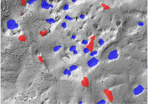
Required processing:
Object-based classifcation of terrain features
Data requirements:
DTM (or if not available DSM) extracted from aerial photographs
Georeferenced terrain features : peaks and depressions.
Why using remote sensors?:
A detailed Digital Terrain Model consitutes an ideal source for the mapping of terrain features such as peaks or depressions, which can be used as input for further analysis (e.g. visibility analysis).
Technical contact:

