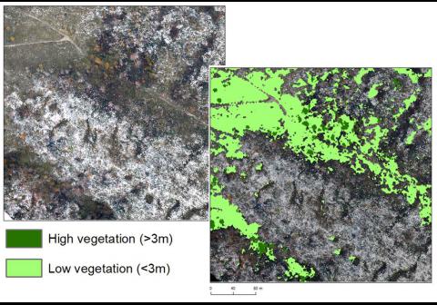
Required processing:
Texture indices, automatic classification.
Data requirements:
Orthorectified mosaic of aerial images.
By using the nDSM, a distinction can be made between high objects (more than 3 meters) and low objects (between 0 and 3 meters) can be made. In addition, by using available pictures (satellite or 3K) we can select vegetation.
These two processes are then combined to distinguish the high vegetation of the low vegetation.
Why using remote sensors?:
A classification vegetation/non vegetation can be very useful to detect IMP or IMA without entering the SHA.
Technical contact:

