Required processing:
"Orthorectification and georeferencing, per-pixel and per-object classifications.
Atmospheric correction, Pixel and object-based classification".
Data requirements:
Very High spatial resolution satellite imagery (e.g. Pleiades, QuickBird, WorldView-2, IKONOS, etc.).
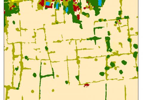
Land Use/land cover classification in 9 classes ( trees, bare soil, herbaceous, water, shrubs, burnt, built-up, shadows, other) based on Pléiades images based on a fusion of per-pixel and per-object based classification.
Why using remote sensors?:
In many cases, Maps are outdated. Or having a general view of the cleared area may be usefull during the Non-Technical Survey and the Technical Survey.

