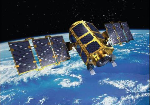
Start of the mission:
2006
End of the mission:
operating
Time for revisit:
28 days
Swath at nadir:
15.0 km
Max. Viewing angle (°):
+/-30° across and along track
3D capacity:
no
Panchro spatial resolution :
1.00 m
Multi-spectral spatial resolution :
4.00 m
Indicative price:
7,5 USD/km²
Minimal area to order:
225 km²
Operator:
Korea Aerospace Research Institute
External information:
Comment:
Low cost very high spatial resolution data (Panchromatic and multi-spectral data) + large footprint.

