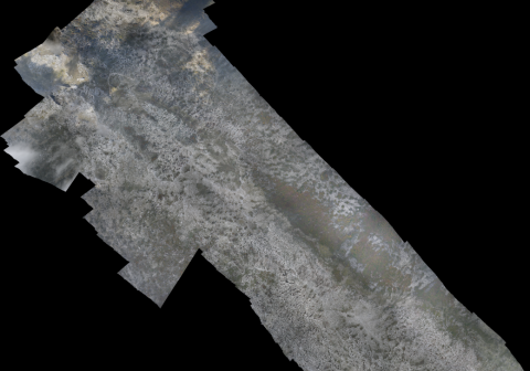
Required processing:
Orthorectification, mosaicking of images.
Data requirements:
Airplane, Sensor, appropriate weather conditions, permission by national authorities.
Mosaic of georeferenced ortho aerial photos
Why using remote sensors?:
RS is the most efficient way to create base maps over large areas and areas that are not safe to enter.
Aerial images provide a better resolution than satellite images so that more details can be interpreted visually (e.g. tracks, fortifications, trenches, ....)
Technical contact:

