Required processing:
Georeferencing, Vectorisation, Quality check and anomalies correction of input data (if any).
Data requirements:
High satellite imagery (such as Landsat 8), Administrative data, networks layers (roads, trains, etc.), stream networks, contour lines, etc.
Georeferenced High-Resolution spatial resolution satellite images.
Why using remote sensors?:
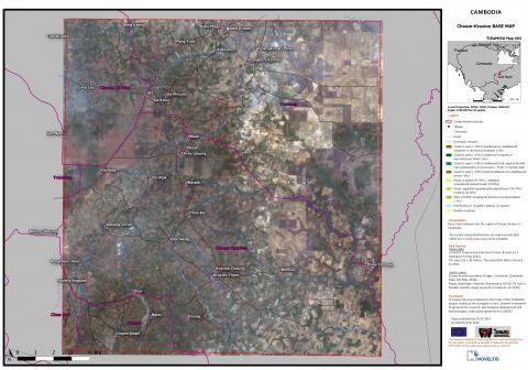
RS is the most efficient way to create base maps not only over large areas but also on areas that are not safe to enter.
This basemap is useful to support the planning and the management of the activities during the different demining phases by visualising the landscape and correcting or updating existing GIS layers (roads, railways, rivers, ...).
Technical contact:
Operational contact:

