Wiki FP7-Tiramisu


Published on Wiki FP7-Tiramisu (http://geospatial.fp7-tiramisu.eu)

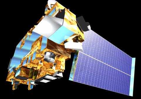
TERRA-ASTER

General info
Programme: 
National
Country: 
USA
Scale: 
1/100 000 to 1/25 000
Spatial resolution: 
30 to 10m
Platforms: 
Satellites
Product example: 
Forest edges and clearings
Main roads and broad tracks

Sensor details

Start of the mission: 
1999
End of the mission: 
operating
Time for revisit: 
16 days
Acronym Sensor: 
ASTER
Swath at nadir: 
60.0 km
Max. Viewing angle (°): 
+/- 24° backward
3D capacity: 
yes
Multi-spectral spatial resolution : 
15.00 m
Spectral bands
Nber of spectral bands: 
15
Visible: 
3
NIR: 
1
SWIR: 
6 (30m)
TIR: 
5 (90m)

Commercial information

Indicative price: 
90 EUR/scene*
Operator: 
NASA
External information: 
On-line catalogue
On-line image gallery
More info
Comment: 
Interesting spatial and spectral resolution, nearly free.
Source URL (modified on 10/09/2015 - 18:39): http://geospatial.fp7-tiramisu.eu/sensors/terra-aster